Dalet, Burma
From Infogalactic: the planetary knowledge core
(Redirected from Dalat, Burma)
| Dalet Dalat |
|
|---|---|

Dalet
|
|
| Coordinates: Lua error in package.lua at line 80: module 'strict' not found. | |
| Country | |
| Division | Rakhine State |
| District | Kyaukpyu |
| Township | Ann Township |
| Time zone | MST (UTC+6.30) |
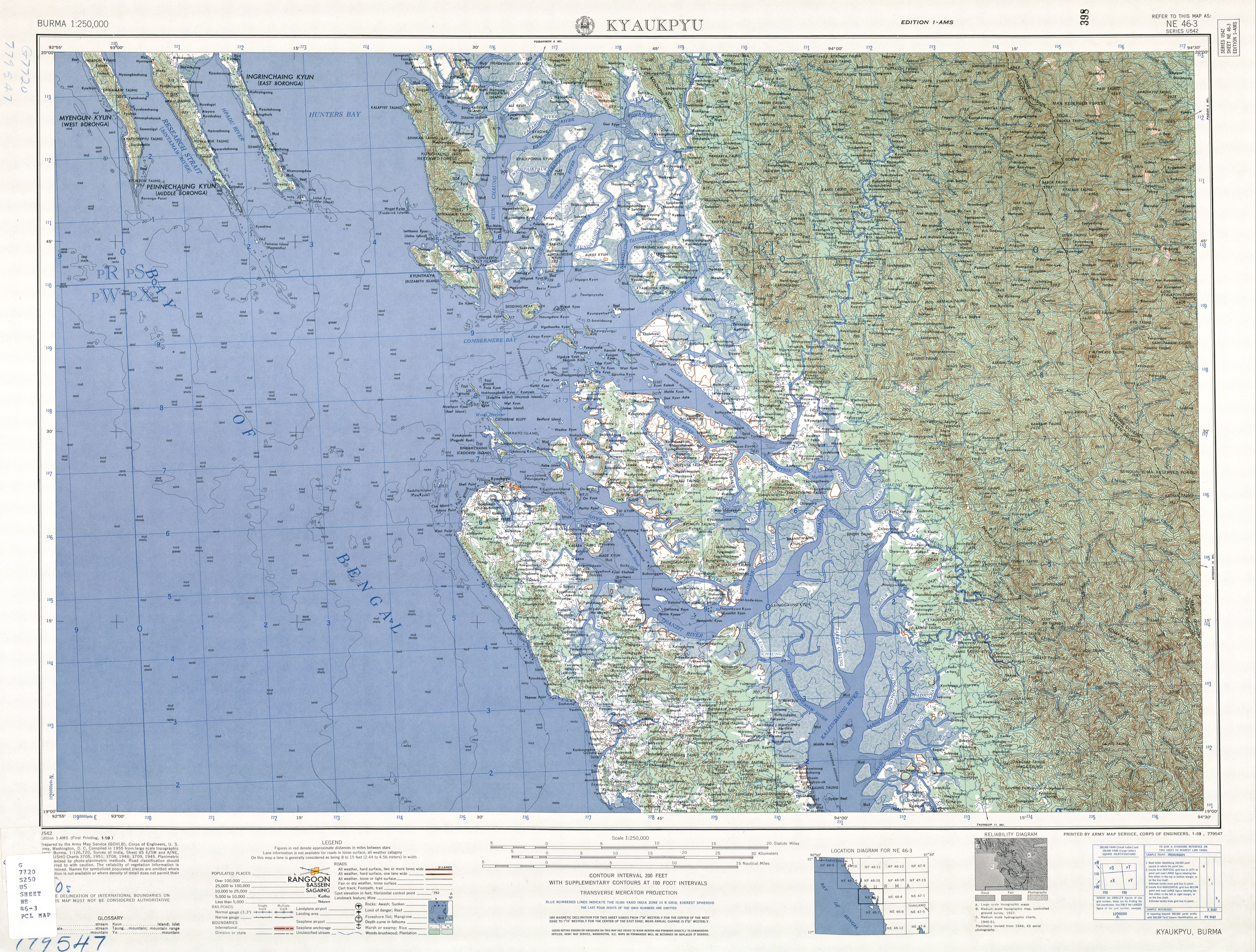
Dalet[1] or Dalat is a village in Ann Township, Kyaukpyu District, in northern Rakhine State in the westernmost part of Burma (Myanmar). It is northwest of Ann on the Ann - Minbya highway.[2] Dalet is located on the Dalet River (Dalet Chaung).[3]
Notes
- ↑ "Dalet (Approved)" Dalet, Burma at GEOnet Names Server, United States National Geospatial-Intelligence Agency
- ↑ "Map of Rakhine State" Myanmar's Net
- ↑ Burma 1:250,000 topographic map, Series U542, NE 46-3 Kyaukpyu U.S. Army Map Service, January 1959
External links
- "Dalet Map — Satellite Images of Dalet" Maplandia
<templatestyles src="Asbox/styles.css"></templatestyles>
|
This Rakhine State location article is a stub. You can help Wikipedia by expanding it. |