Cenepa River

The Cenepa River currently rises in the Cordillera del Cóndor mountain range in Peru, South America[1] and has a length of 185 km. The Cenepa flows into the Marañón River at Orellana.[2] Its drainage basin borders to the north on Ecuador, to the east on the districts of Río Santiago and Nieva, on the south with the district of Imaza, and on the west with Ecuador.
In early 1995, its headwaters were the site of a military conflict over a disputed boundary between Ecuador and Peru known as the Cenepa War, or the Battle of Tiwinza.[3] Landmines from that conflict remain a problem in that area.[4]
Notes
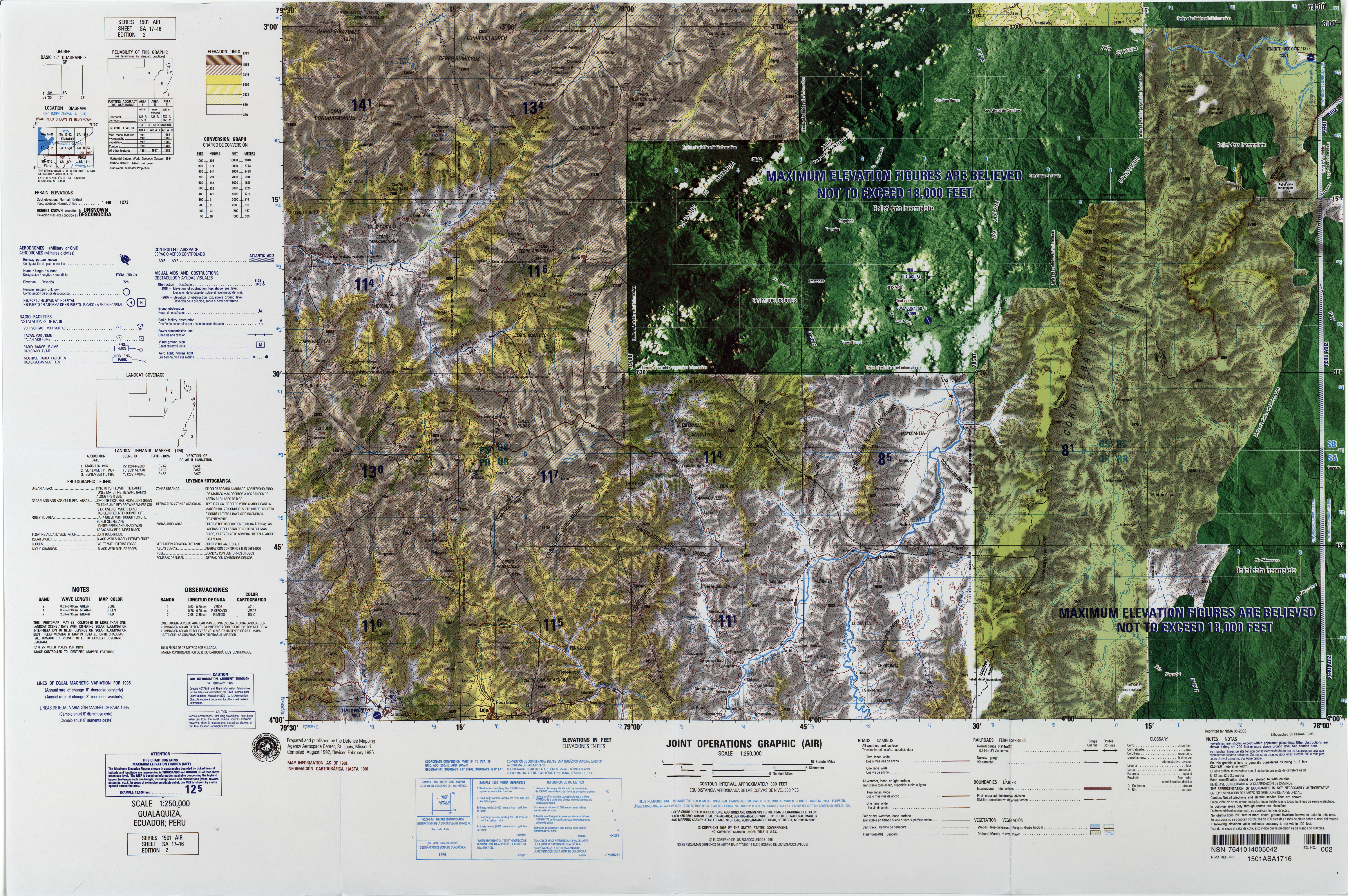
- ↑ Topographic map Gualaquiza, Ecuador; Peru SA-17-16, Joint Operations Graphic 1:250,000, U.S. National Imagery and Mapping Agency, February 1995
- ↑ Topographic map Zamora, Ecuador; Peru SB-17-4, Joint Operations Graphic 1:250,000, U.S. National Imagery and Mapping Agency, February 1995
- ↑ Cooper, Tom (1 September 2003) "Peru vs. Ecuador; Alto Cenepa War, 1995" Central and Latin American Database, Air Combat Information Group (ACIG), archived 13 February 2012 at http://www.webcitation.org/65QqBXgYe by WebCite.
- ↑ Moyes, Richard (2005) Explosive remnants of war and mines other than anti-personnel mines: Global Survey 2003–2004 Landmine Action (UK); Actiongroup Landmine.de; Mines Action Canada; London, page 55, ISBN 0-9536717-9-8
Mouth: Lua error in package.lua at line 80: module 'strict' not found.
<templatestyles src="Asbox/styles.css"></templatestyles>
|
This Amazonas Region geography article is a stub. You can help Wikipedia by expanding it. |