Tindfjallajökull
| Tindfjallajökull | |
|---|---|
| File:Tindfjallajökull from aeroplane.jpg | |
| Highest point | |
| Elevation | Lua error in Module:Convert at line 1851: attempt to index local 'en_value' (a nil value). |
| Prominence | Lua error in Module:Convert at line 1851: attempt to index local 'en_value' (a nil value). |
| Coordinates | Lua error in package.lua at line 80: module 'strict' not found. |
| Geography | |
| Location | Iceland |
| Parent range | Mid-Atlantic Ridge |
| Geology | |
| Mountain type | Stratovolcano |
| Last eruption | Possibly Holocene |
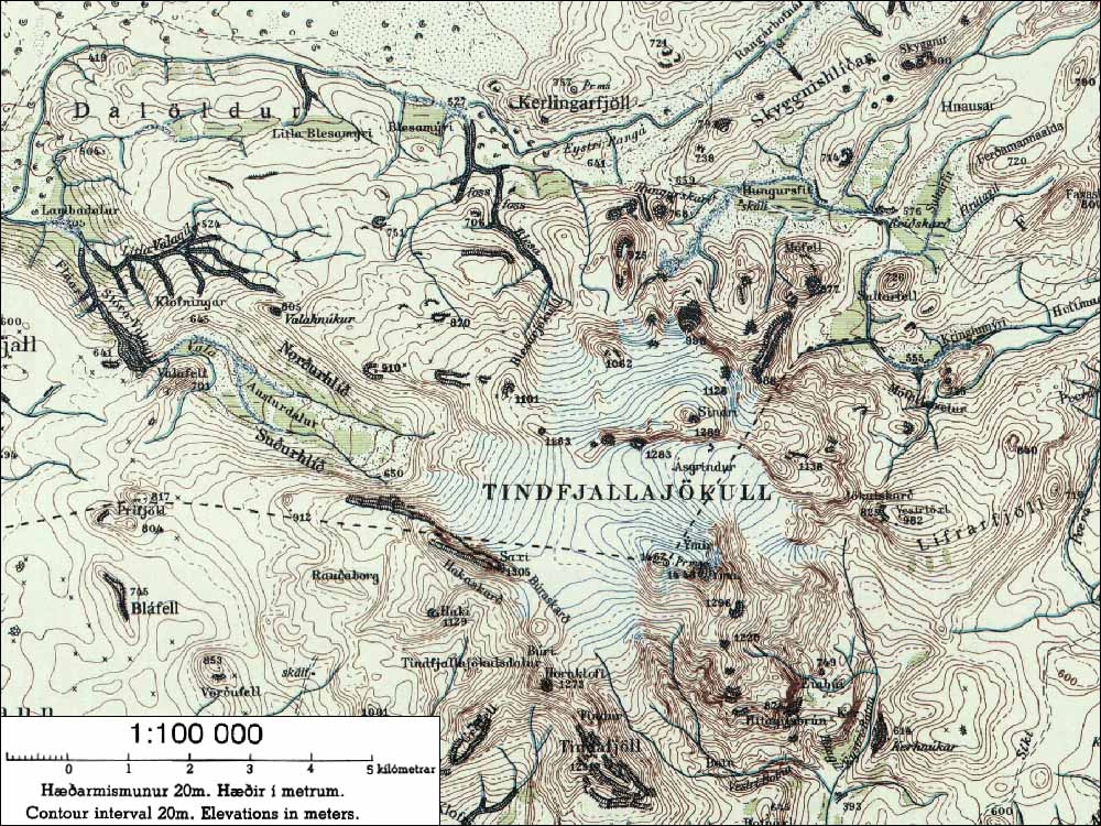
Tindfjallajökull is a stratovolcano in the south of Iceland.[1] It has erupted rocks of basaltic to rhyolitic composition, and a 5-km-wide caldera was formed during the eruption of the 54,000-year-old Thórsmörk Ignimbrite. It is capped by a glacier of 19 km².[2] Its highest peak is Ýmir (1462m),[2][3] which takes its name from the giant Ýmir of Norse mythology. The most recent eruption was at an unknown time in the Holocene.[1]
The name means "Tindfjöll glacier". Tindfjöll ("peak mountains") is a ridge that extends to the south of the glacier.
The rivers that flow from the glacier are Hvítmaga to the north-east, Gilsá to the south, Þórólfsá to the south-west, Valá to the north-west and Blesá to the north. Hvítmaga, Gilsá and Þórólfsá drain into Markarfljót while Valá and Blesá drain into Eystri Rangá.
See also
References
<templatestyles src="Reflist/styles.css" />
Cite error: Invalid <references> tag; parameter "group" is allowed only.
<references />, or <references group="..." />External links
| Wikimedia Commons has media related to Tindfjallajökull. |
|
|
||
- ↑ 1.0 1.1 Lua error in package.lua at line 80: module 'strict' not found.
- ↑ 2.0 2.1 National Land Survey of Iceland (Icelandic)
- ↑ nat.is - Tindfjallajökull